Location data has an impact on every business. Are you using it to your advantage?
Location data has an impact on every business. Are you using it to your advantage?
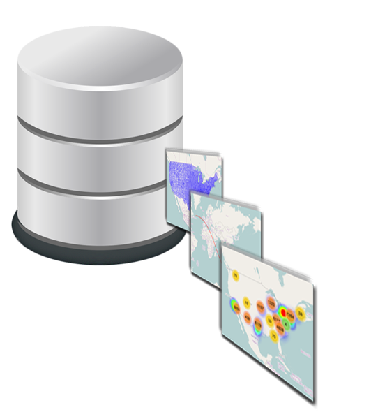
Helping you convert spatial data into actionable information, to support decision-making and the automation of knowledge work.
All databases have spatial relationships. Our job is helping you to uncover them, making the right connections, and then putting them to work. You’ll be surprised at how spatial technology illuminates an entirely new layer in your data.
Your use of location data can be hidden away as APIs that scrub, validate, and extend incoming data to existing applications, or you can make it front and center though the use of maps for visualizing or geographic filtering of data. There’s hardly a place where spatial technology doesn’t fit.
If a picture is worth a thousand words, how do you quantify the value of an interactive map? Today's mapping frameworks are lightweight, fast, and extremely powerful and extensible. The barriers to fast implementations of spatial solutions continue to drop.